WORKSHEET ANSWERS
CB/VI/2021 Mapping a Location Page 1 of 10
Subject: Social Science
Topic: Mapping a Location
Std.: VI
Worksheet 1
Answer the following questions:
Mention any one limitation of a globe.
It is difficult to carry and store.
Detailed information about landforms, transport systems, industries cannot be
shown in a globe.
It is not possible to see all the parts of the earth's surface at the same time.
What is the disadvantage of a map?
Maps have one disadvantage. It is impossible to represent a spherical surface
on a flat sheet of paper, all maps have some distortions.
State any one point of difference between globes and maps.
Globes
Maps
Globe is a three-dimensional model of
the earth.
Map is a two-dimensional representation
of the earth.
Only a part of the earth can be viewed at
a time on a glbe.
Entire world can be viewed at a glance in
a world map.
Inconvenient to carry.
Easy to carry.
Globes cannot show minute details such
as roads, railways, etc.
Maps can show a minute details such as
roads, railways, industries, etc.
(Accept any one)
Why are maps important?
Maps are a useful tool to study the world. They provide detailed information
about any place on the earth.
Maps help in planning the layout of roads, industries, parks, residential
complexes, etc.
Maps are used by the armed forces for strategic planning.
Maps are a useful tool for tourists.
Navigators and pilots use maps to find location.
WORKSHEET ANSWERS
CB/VI/2021 Mapping a Location Page 2 of 10
Worksheet 2
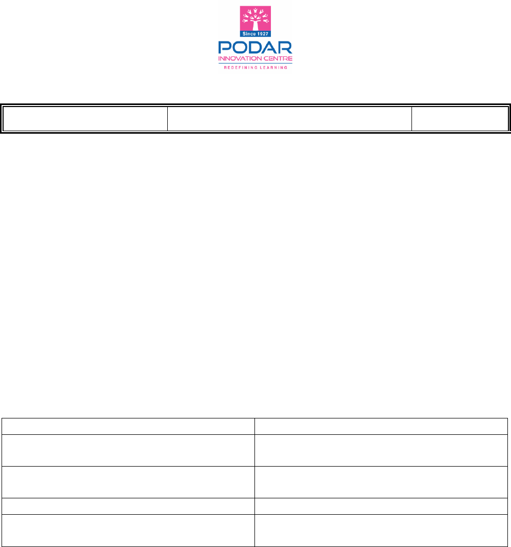
Study the following pictures and write the words that describe them properly.
Cartographer
Scale
Longitude
Latitude

WORKSHEET ANSWERS
CB/VI/2021 Mapping a Location Page 3 of 10
Atlas
Compass

WORKSHEET ANSWERS
CB/VI/2021 Mapping a Location Page 4 of 10
Worksheet 3
Study the given maps and answer the questions that follow.
What type of map is this? What are its features?
This map is a thematic map.
This type of map gives specific information based on a single theme.
For example, rainfall distribution, population, vegetation, road, railway
network, etc.

WORKSHEET ANSWERS
CB/VI/2021 Mapping a Location Page 5 of 10
What type of map is this? What are its features?
This is a political map.
Boundaries of continents, countries, states and their capitals, major towns,
etc. are shown in political maps.
International boundaries and state boundaries are shown by different types
of lines.
These maps are also used as base maps for showing various economic,
cultural and historical activities.

WORKSHEET ANSWERS
CB/VI/2021 Mapping a Location Page 6 of 10
What type of map is this? What are its features?
This is a physical map.
Natural features such as mountains, plateaus, hill ranges, plains, rivers, lakes,
seas, etc. are shown in these maps.
What type of map is this? What are its features?
This is a physical map.
Natural features such as mountains, plateaus, hill ranges, plains, rivers, lakes,
seas, etc. are shown in these maps.

WORKSHEET ANSWERS
CB/VI/2021 Mapping a Location Page 7 of 10
Worksheet 4
Crossword
Across
Down
1. __________ maps show borders between
countries or between areas inside a
country
5. __________ maps show different roads in
an area
6. It shows the real distance between two
places
2. __________ maps show natural features in an
area, like rivers, mountains and lakes
3. It tells us the name of the place on the
map
4. The pictures on a map are called __________
7. It explains what each symbol or colour
means
Answer Key

WORKSHEET ANSWERS
CB/VI/2021 Mapping a Location Page 8 of 10
Worksheet 5
I. Study the map (colour map is given on page no. 29 of the textbook) and describe
the components of map in the following graphic organiser.
-----------------------
Grid: The horizontal
and vertical lines
drawn on a map
which criss-cross
each other are
known as grid.
Directions on the map are
of two types: Cardinal
directions - North, south,
east and west.
Intermediate directions -
NE, NW, SE and SW.
Features such as
settlements, railway
lines, vegetation, etc
are depicted by using
certain letters, symbols
and colours.
Different
colours are
used on the
map to
indicate
specific
features.
The legend
or key
helps to
read the
signs and
symbols.
The title of
a map tells
us about
the
informatio
n we get
from the
map.
Scale is a
ratio
between
the
distance on
a map and
the actual
distance on
the ground.

WORKSHEET ANSWERS
CB/VI/2021 Mapping a Location Page 9 of 10
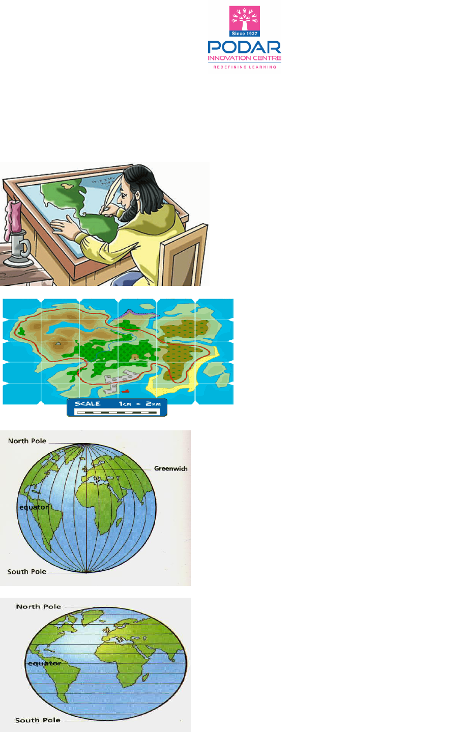
II. Look at the following map and answer the questions that follow.
Q. 1: What is the title of the map?
Types of soil - India
Q. 2: Name the major type of soil found in the southern part of India.
Red soil
Q. 3: Which keys other than soils are mentioned in this map?
International Boundary and State Boundary
Q. 4: Which colour describes the mountain soil?
Green colour

WORKSHEET ANSWERS
CB/VI/2021 Mapping a Location Page 10 of 10
Worksheet 6
1. List the things you always find on a map.
i. Title
ii. Direction
iii. Scale
iv. Grid
v. Key or Legends
2. What is a key?
The key or legend helps to read the signs and symbols on the map. Keys are
always placed at the bottom of the page with correct explanations.
3. Fill in the compass.
4. State whether the following statements are true or false.
a) Sketch is drawn to scale. False
b) The length and breadth of a building is given in a sketch. False
c) Conventional symbols are used in a map. True
North
South
We
st
Eas
t
North-West
North-East
South-East
South-West
